Brienzergrat. Also called Hardergrat, it is actually three ridges, it starts as Brienzergrat (from Brienzer Rothorn to Ällgäulücke) then becomes Riedergrat as far as Augstmatthorn and ends as Hardergrat (the remainder of the ridge all the way to Harder Kulm / Interlaken). It is rated one of the most difficult and one of the most beautiful in Switzerland. It is only possible during the late spring, summer and early autumn seasons. Most of the peaks along the trail – including Suggiture and Augstmatthorn – and many difficult sections are snow or ice covered from November until the end of May making them extremely dangerous or impassable.
There is NO CAMPING AND NO DRONE FLYING allowed anywhere along the route. From Harder Kulm to Ällgäulücke the ridge and all peaks are a designated nature conservation area and protected area for Steinbock. From Ällgäulücke to Brienzer Rothorn forms the edge of the UNESCO Entlebuch Biosphere where again, no camping or bivouacking is allowed. Drone flying of any kind is prohibited along the entire ridge. Mountain bikes or vehicles of any kind are prohibited from the ridge and trails leading to and from the ridge because those trails are also in the federally protected wildlife area. Dogs must be kept on leads at all times in the protected area.
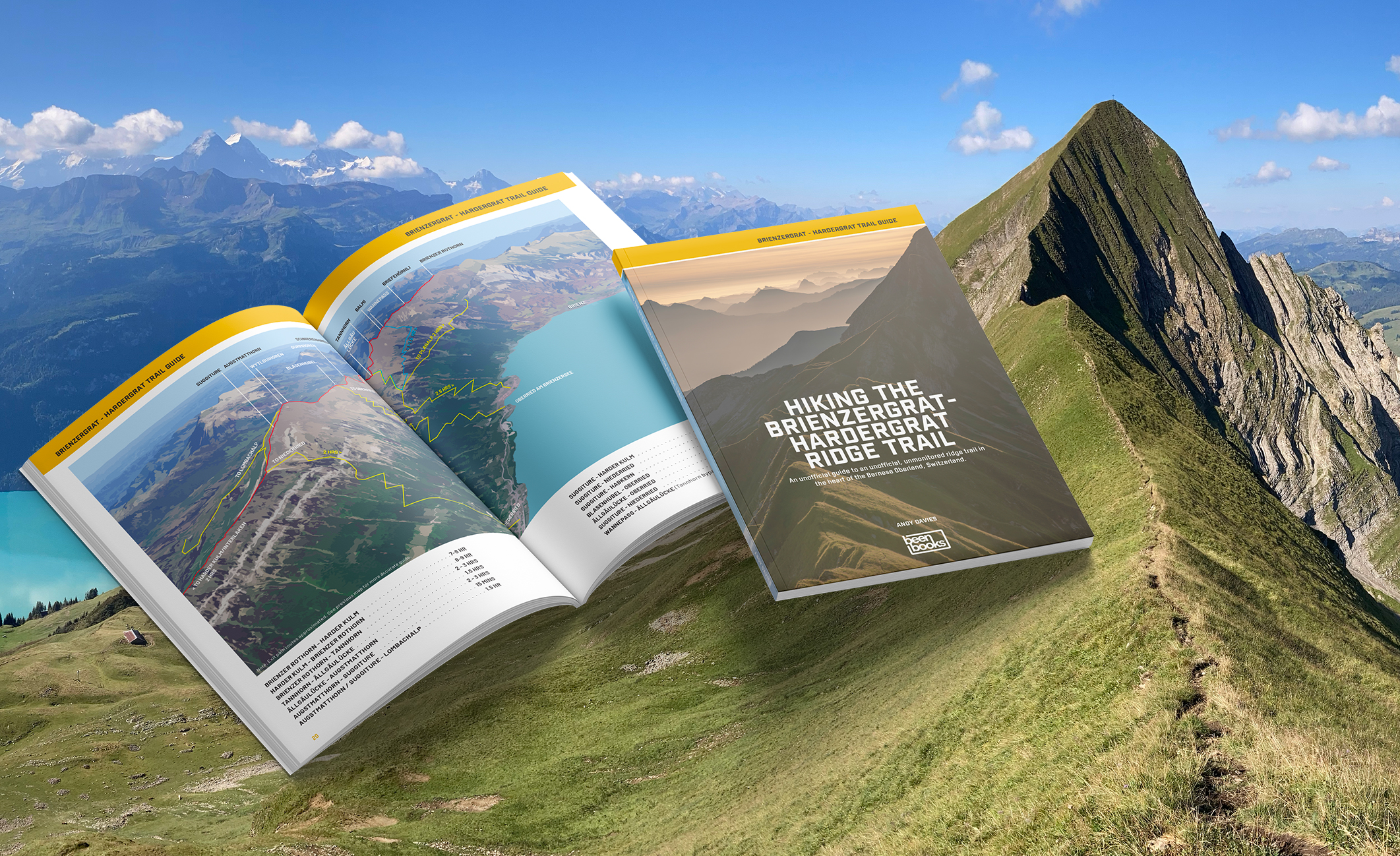
Buy the Trail Guide
Hiking the Brienzergrat - Hardergrat Ridge Trail is available now. Pricing is CHF 12.95 including shipping. 76 pages, colour, an unofficial guide to an unofficial, unmonitored trail. Detailed walkthrough, over 75 images and illustrations.
Any profits from sales of the guide and other items on this site go towards funding an information campaign to promote awareness of the rules that protect this Federal Wildlife Reserve.